

Urban Sprawl Mapping Based on Land Use and Land Cover (LULC) Time-Series in District II of Davao City, Philippines
DOI:
https://doi.org/10.59120/drj.v16i1.305Keywords:
Built-up areas, environmental impact, urban sprawl, Geographic Information System (GIS), Spatial AnalysisAbstract
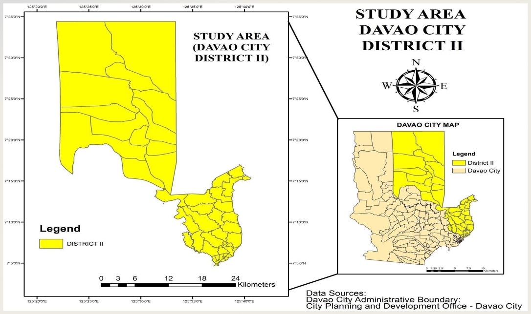
Urban sprawl, driven by rapid industrial and residential growth, significantly impacts land use and the environment. This study analyzes its effects on land use and land cover (LULC) in Davao City's District II from 2013 to 2023 using Geographic Information System (GIS) technology and remote sensing data. Vegetation areas, which accounted for 80.32% of the land in 2013, declined to 68.49% by 2023, Four key categories were assessed: built-up areas, vegetation, water bodies, and barren land. Landsat images from 2013, 2017, 2020, and 2023 were processed using the maximum likelihood classification method, with accuracy assessments conducted to ensure reliable results. Additionally, the Normalized Difference Vegetation Index (NDVI) was used to monitor changes in vegetation and track urban expansion. The findings reveal a significant reduction in vegetated land and a corresponding increase in built-up areas, underscoring the negative impact of urban development on the local environment. This study highlights the need for continued monitoring of LULC changes to support sustainable urban growth and protect valuable natural resources.
Downloads
Downloads
Published
Issue
Section

License
Copyright (c) 2025 Fillmore D. Masancay, Arrin E. Arizobal, Vincent T. Pascua, Izza Grace D. Petalcorin

This work is licensed under a Creative Commons Attribution-NonCommercial 4.0 International License.
DRJ is an open-access journal and the article's license is CC-BY-NC. This license allows others to distribute, remix, tweak, and build on the author's work, as long as they give credit to the original work. Authors retain the copyright and grant the journal/publisher non-exclusive publishing rights with the work simultaneously licensed under a https://creativecommons.org/licenses/by-nc/4.0/.